
Vegetation Analysis
Insights for agricultural and recreational turf
-

Nutrient Mapping
Identify nutrient deficient for targeted fertilization, ensuring that resources are used efficiently
-

Optimal Harvest Timing
Multispectral imaging can provide insights into crop maturity by providing a more complete picture of your most important resources
-

Soil Analysis
Optimize planting strategies and assess the suitability of a parcel of land for crop varieties
-

Monitored Growth Patterns
Monitor the growth patterns of crops, helping to optimize pruning, training, care protocols and more
Aerial Diagnostics is revolutionizing agricultural vegetation analysis. Our multispectral technology, coupled with precision drones, offer invaluable insights to optimize yield, conserve resources, and enhance plant health.
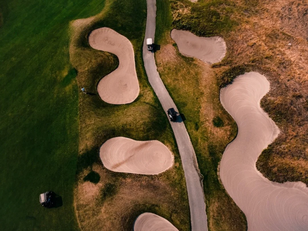
Golf Courses
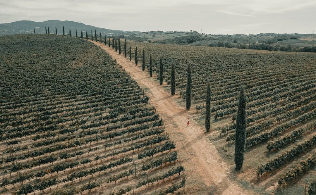
Vineyards
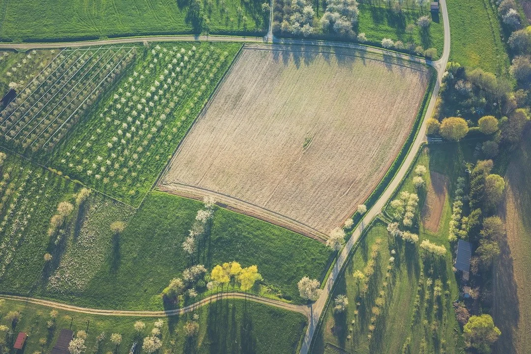
Orchards

Hops Farms

Vegetation Analysis
Revolutionize your vegetation management approach! Our drone, equipped with cutting-edge multispectral sensors, delivers invaluable data to:
Detect early signs of plant distress
Evaluate nuanced plant health disparities
Optimize yield and resource conservation